こんにちは、Kyoto eBikesです。自転車でしまなみ海道を探検するために必須な、自転車をそのまま載せることができるフェリーとサイクリングルート情報をGoogle Mapにまとめました。
ぜひ私たちのE-Bikeを借りて、縦横無尽にしまなみ海道を探検しましょう!
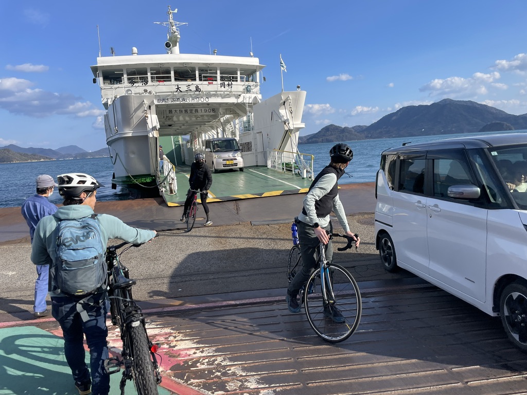
Finally, a complete map of the Seto Inland Sea’s complex ferry network. Until now, finding ferry information required checking dozens of different websites. We have consolidated all ferry routes connecting the Shimanami Kaido, Onomichi, and Hiroshima into one easy-to-use Google Map. Zoom in to find port locations, click on the routes to see travel times, and plan your perfect island-hopping itinerary. Whether you are looking for a shortcut or a scenic detour, this map covers it all.
Maximize your adventure by combining cycling with a sea voyage. While the Shimanami Kaido is famous for its bridges, traveling by boat offers a unique perspective of the islands. There are several ways to cross to Hiroshima side: direct high-speed boats to Mihara, car ferries to Kure, or routes via the famous “Rabbit Island” (Okunoshima). This section guides you through the best connections to get you and your bike from the cycling path to Hiroshima City and beyond, skipping the busy mainland traffic.
Essential schedule info and bicycle rules. Not all boats are the same. Some large Car Ferries allow you to roll your bike directly onto the deck, while some smaller High-Speed Boats require you to pack your bike in a “Rinko bag” (carry bag). Below, we have organized the timetables for each major route. We also indicate whether the vessel is “Bike-friendly” (no bag needed) or requires disassembly. Please check the latest departure times to ensure a smooth journey.
Kazuki Masuda
or Eji Komagata
Staff will be happy to answer any questions you may have. スタッフがお答えします。